

Surveying
Our expert surveyors use advanced tools and techniques to provide precise data for property development and construction.

Cadastral Surveys
Cadastral Surveys: Defining Property Boundaries
Cadastral surveys focus on establishing and defining property boundaries and property lines. They play a crucial role in determining ownership and ensuring clear land divisions. Our cadastral services include:
Subdivisions: Creating, altering, or adjusting property lines to subdivide land for new developments or ownership divisions.
Boundary Retracements (Restake): Accurately locating and marking the boundaries of a property on the ground, ensuring clarity and legal integrity.
Plan of Survey: A detailed plan that illustrates the relationship between property boundaries and surrounding features, providing a visual representation of land divisions.
Surveyor’s Real Property Report (SRPR): A specialized plan of survey designed primarily for lending institutions, providing detailed property information for financing purposes.

Pre-Engineering & Topographic Surveys
Pre-engineering and topographic surveys provide a detailed snapshot of a site's existing conditions, typically conducted before the design and construction phases of a project. These surveys are tailored to meet the unique needs of each client, ensuring that all relevant features of the site are captured for accurate planning and decision-making.
Key Features Typically Included:
Asphalt edges and road centerlines
Curbs and sidewalks
Storm and sanitary sewer structures
Power and communications services
Buildings and other existing infrastructure
Digital Terrain Model (DTM) The surface of the site is often represented as a Digital Terrain Model (DTM) — a computer-generated 3D model that depicts the existing ground surface. This model is crucial for performing accurate calculations and evaluating potential development options based on the current topography.
Construction Surveys
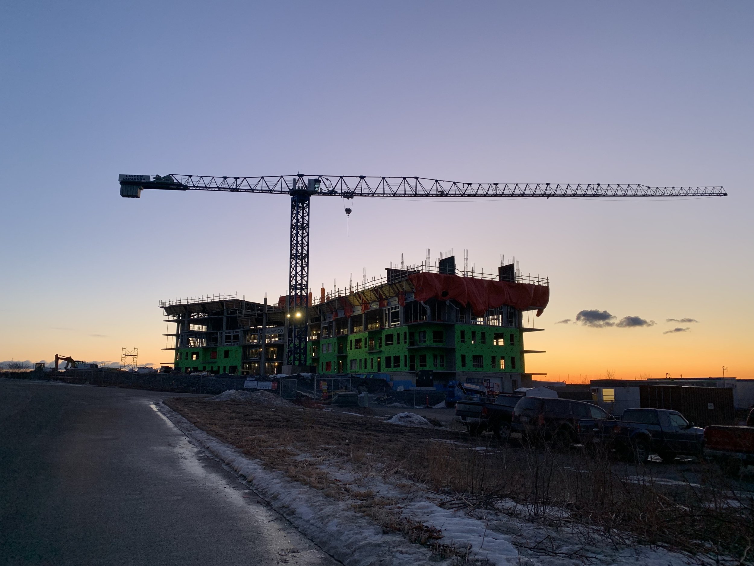
Whether you're building a small home or undertaking a large industrial project, we’re here to assist with all your construction survey needs.
Services We Provide:
Siting and Layout: Accurate positioning of buildings on the property, including plot plans, grading plans, excavation plans, and blasting plans.
Foundation and Structure Layout: Locating foundation corners for excavation and formwork installation, as well as grid lines and building outline for excavation.
Building Outline & Grading: Marking building outlines, footing corners, foundation corners, and grades for proper excavation and construction.
Ongoing Layout Support: During the construction process, we ensure grid lines and grades are transferred to subsequent floors, formwork, rebar, and anchor bolt locations.
As-Built Surveys: Documenting and providing as-built surveys for completed works, ensuring everything matches the original plans and specifications.
Photogrammetry, LiDAR & 3D Scanning Services
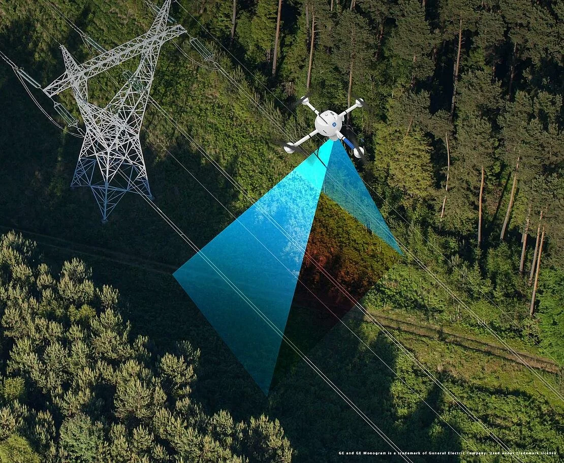
We offer a range of cutting-edge technologies to capture and analyze site data, providing you with high-precision models and measurements for your projects.
Our Services Include:
Air Photo Interpretation: Analyzing aerial imagery for site assessments and planning.
Air Photo Collection & Processing: Capturing and processing high-resolution aerial images for detailed mapping and analysis.
Single Photos: High-quality, detailed single-image captures for specific site observations.
Photo Mosaics: Combining multiple images into seamless, high-resolution mosaics for large-area mapping.
Rectified Imagery & Orthophotos: Creating accurate, geometrically corrected images for precise measurements and spatial analysis.
Videography: Capturing video footage for site surveillance or documentation.
LiDAR Processing & Contour Map Development: Converting LiDAR data into accurate contour maps for topographic analysis and site development.
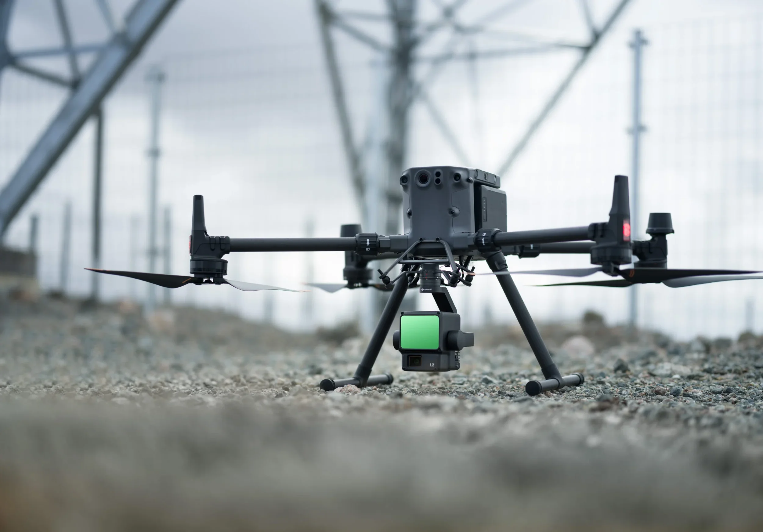
Specialized 3D Laser Scanning: Capturing high-precision 3D scans of physical environments for detailed modeling and analysis.
Point Cloud Production: Generating dense point clouds for in-depth analysis and site documentation.
Data Extraction from Dense Point Clouds: Extracting detailed data from point clouds for further processing and design applications.