
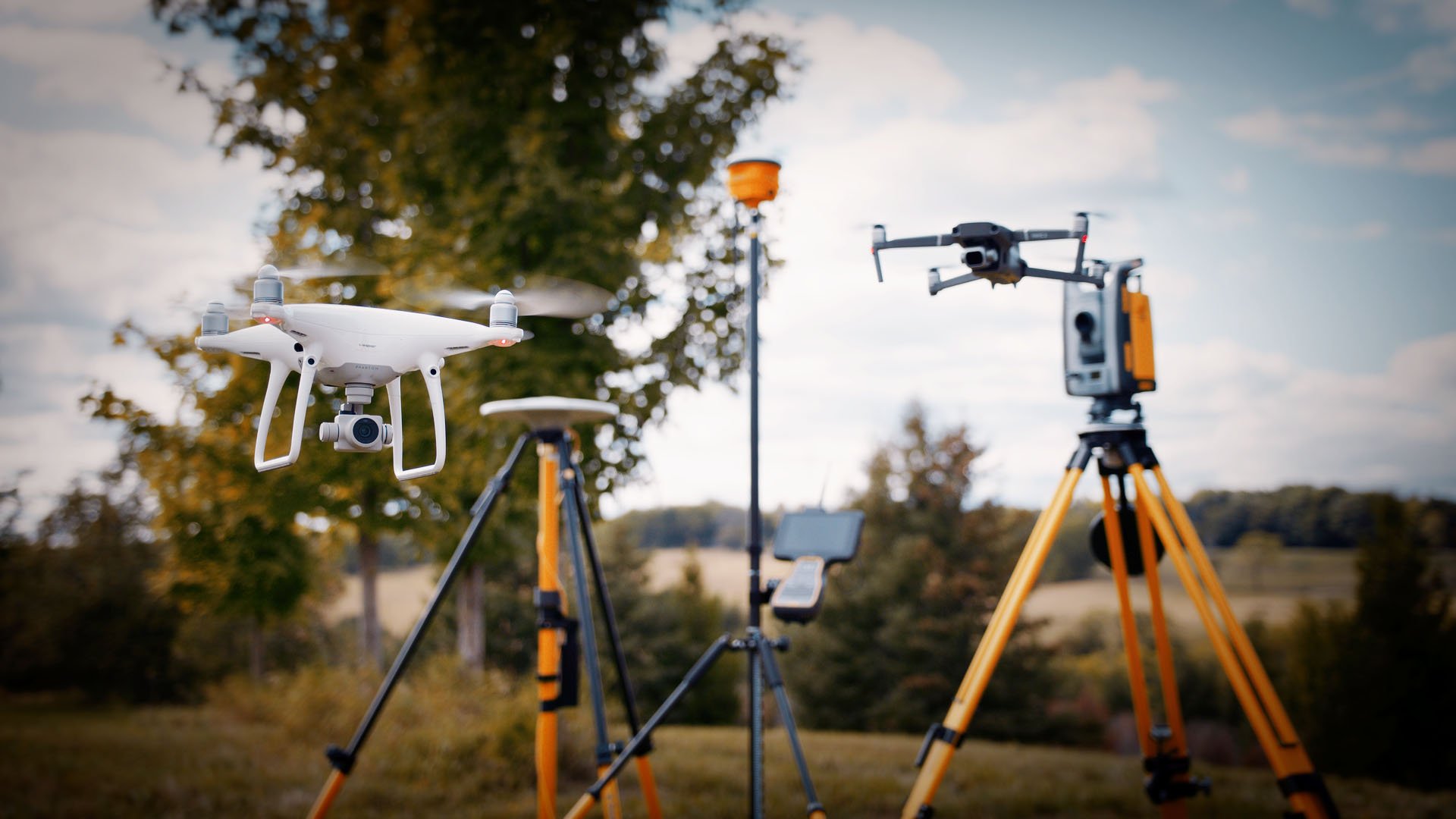
Geomatics
Our team ensures that your project has the accurate geospatial information needed for successful planning and execution.

Geomatics Services
DMSE offers a wide range of specialized surveying and mapping services to meet the diverse needs of our clients. Our expertise includes:
Precision Mobile Mapping: High-accuracy mapping solutions using advanced mobile technologies.
Digital Mapping: Creation of detailed digital maps for various applications and analysis.
Expertise in Court: Providing expert testimony and support for legal and dispute resolution purposes.
GPS Survey: Accurate geospatial data collection using state-of-the-art GPS technology.
Mobile LiDAR: Utilizing mobile LiDAR systems for rapid and precise 3D scanning of large areas.
Terrestrial LiDAR: High-resolution terrestrial laser scanning for detailed topographic data.
3D Modeling: Developing detailed 3D models for visualization, analysis, and planning.
Photogrammetry & Remote Sensing: Using aerial imagery and sensors for mapping and surveying applications.
Topographic Survey: Detailed survey of land features and elevations to support design and planning.
3D Scanning: Capturing precise 3D data of structures, environments, or sites for analysis and design.
Drone Survey: Aerial surveys using drone technology for high-resolution mapping and data collection.
These services provide the essential data and insights needed for successful project execution across various industries.